Photos 14
Sunday, November 14, 2021 The run — with detours 14 photos
Map 4: Foster City To Anza Lagoon· Sunday, November 14, 2021 – Sunday, June 2, 2024
Start/End: Parked start car at the Bay Club in Redwood Shores, just north of the San Carlos Airport. Parked end car in Shoreline parking spot at the Anza Lagoon area.
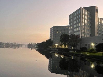
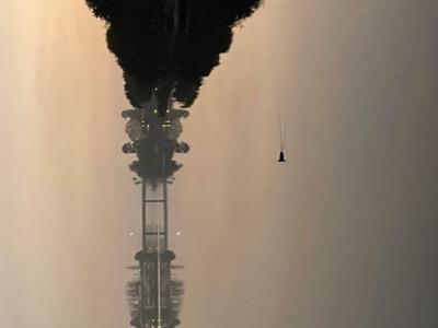
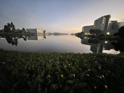
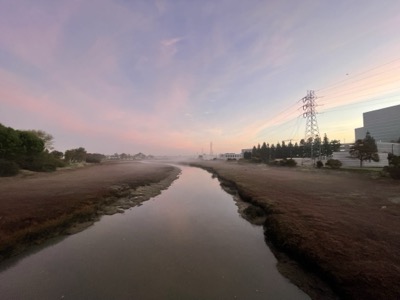
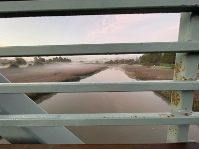
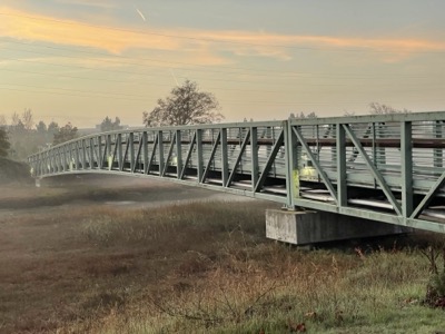
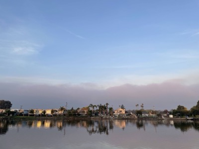
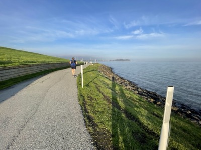
A day of detours. We've had almost no closed trail all the way up until this point, but today encountered two significant closures: Firstly, the whole of the Foster City levee, along which the Bay Trail runs, is going to be closed for a significant piece of time, maybe years. We were at least aware of this so planned on an alternative route. This skipped the entire perimeter of Foster City, but we did run along Seal Slough paralleling 101 and that was nice in the dawn light and full of bird life.
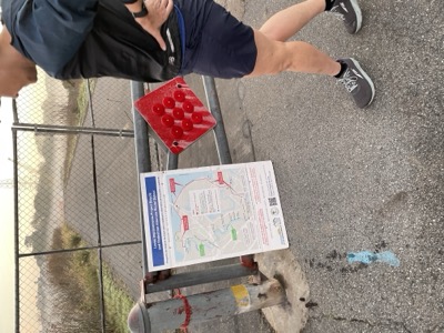
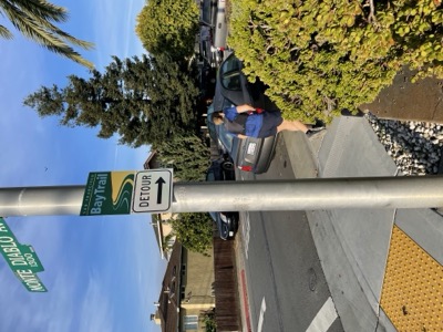
Later in the morning we came across a detour around Coyote Point. Apparently it would have been a FALONY to continue on the trail (in Capital letters even). This wasn't especially interesting, taking us into the neighborhood and then along the freeway. We've left the last part of the Anza slough area sort of incomplete as the Bay Trail loops the whole path. After thanksgiving we plan to return with the dog and clean up. We were tired.
Coffee at Equator, which is right near where we parked.