Circling the Bay

Bay Trail

102 outings. 518 miles of trail. A 15-month circumnavigation of the Bay.

96 segments
518.2 miles of trail (607.9 run)
102 activities
12.6k ft gained
2021–22 15 months
Explore the trail

The Route

Click a segment to see details

The Story

All the way around.

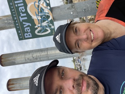
A complete clockwise circumnavigation of the San Francisco Bay Trail, on foot, over 15 months — 102 outings, starting and finishing at MLK park in Oakland.

We made some rules.

  1. We will attempt to run or walk ALL dedicated sections of the trail and connect ALL gaps.
  2. Our source of truth reference will be the Bay Trail Navigational Map at the time we run that part of the trail. This map is not always accurate though, so we'll find a path that is in the spirit of what is drawn. If the official map is on one side of the road and we're on the other, that is fine.
  3. Start point (and finish point) is MLK park in Oakland. We started June 6th 2021 and finished the circumnavigation on Sept 11, 2022. We might run reopened trails or pieces we missed later.
  4. We will run or hike around the Bay Trail in a continuous spine, clockwise, picking each section up from the point where we left off before.
  5. Side loops and spurs will be filled in as we go, once the spine has progressed to, or beyond, those branches.
  6. Spine is determined by, in preference: Official Bay Trail, then Proposed Bay Trail, then closest legal/safe route across gaps, then whatever questionable route works. If there are multiple proposed routes across a gap, we'll probably only run one of them.
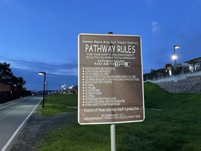
  7. Closed sections of the trail will be detoured around. If there's an official detour, we'll probably go with that. The trail is what it is when we run it. We won't enter personal private property.
  8. If there is a water hazard like a river, and no safe way across, we will paddle it.

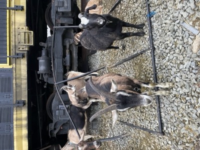
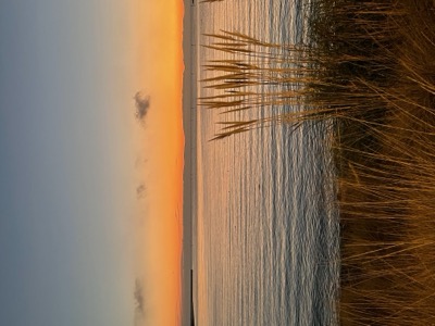
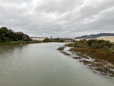
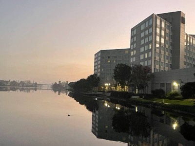
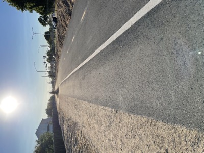
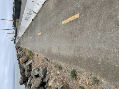
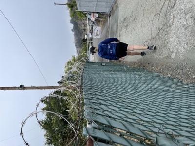
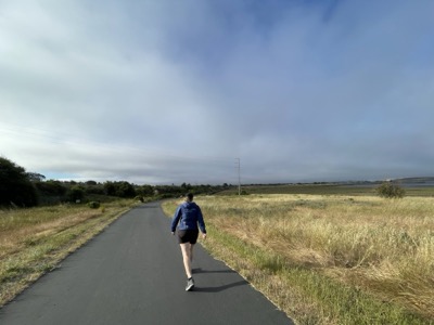
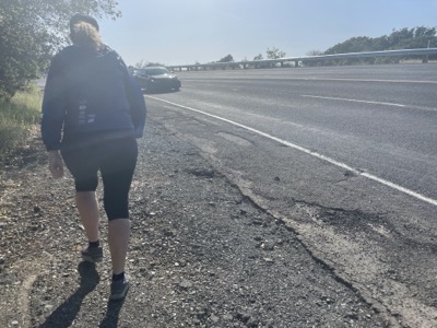
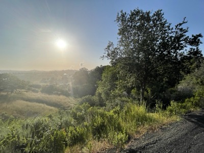
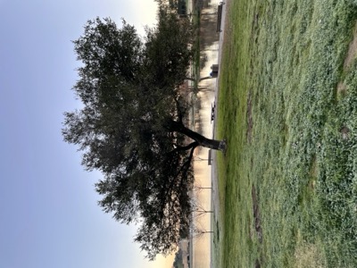
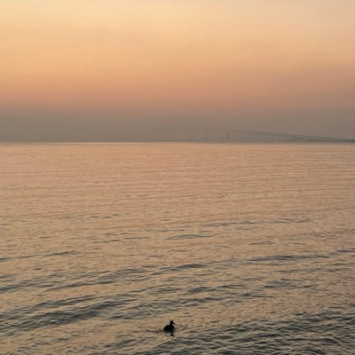
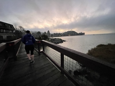
From MLK Park, clockwise: down through Alameda and the south bay, up the peninsula and through San Francisco, across the Golden Gate, around Marin and Sonoma, across Napa and Carquinez, and back down to where we started. Some sections were paved, some were dirt, some required paddling. Many were repeated. One we never quite finished.

All Segments

Map 1: Herons Point To Golden Gate Bridge
2 segments 13.6 mi 43 photos
Dec 2021
Map 2: Brisbane Lagoon To Herons Point
1 segment 10.6 mi 31 photos
Dec 2021
Map 3: Bayside Park To Brisbane Lagoon
3 segments 16.1 mi 38 photos
Dec 2021 – Sep 2022
Map 4: Foster City To Anza Lagoon
3 segments 26.1 mi 14 photos
Nov 2021 – Jun 2024
Map 5: Bedwell Bayfront Park To Belmont Slough
2 segments 14.3 mi 27 photos
Nov 2021
Map 6: Alviso To Bedwell Bayfront Park
7 segments 47.7 mi 94 photos
Sep – Nov 2021
Map 7: Newark To Alviso
5 segments 34 mi 56 photos
Aug – Oct 2021
Map 8: San Leandro South
7 segments 47 mi 71 photos
Jun 2021 – Sep 2022
Map 9: Oakland To San Leandro
5 segments 21.3 mi 47 photos
Jun 2021 – Sep 2022
Map 10: Oakland And Alameda
11 segments 41.7 mi 161 photos
Jul – Sep 2022
Map 11: Bay Bridge
3 segments 8.9 mi 44 photos
Jul 2022
Map 12: Albany To Oakland
4 segments 14.1 mi 64 photos
Jul 2022
Map 13: Richmond To Albany
4 segments 17 mi 65 photos
Jun – Jul 2022
Map 14: Point Pinole To Richmond
2 segments 10.8 mi 36 photos
May 2022
Map 15: Carquinez Bridge To Point Wilson
4 segments 20.7 mi 66 photos
Apr 2022
Map 16: Carquinez Strait
8 segments 32 mi 120 photos
Apr 2022
Map 17: Vallejo
3 segments 16.6 mi 37 photos
Apr 2022
Map 18: Hudeman Slough To Napa
5 segments 29.7 mi 71 photos
Apr 2022
Map 19: Petaluma River To Hudeman Slough
5 segments 25.8 mi 85 photos
Mar 2022
Map 20: Mcinnis To Petaluma River
3 segments 16.1 mi 40 photos
Feb – Mar 2022
Map 21: North San Rafael
2 segments 16.5 mi 30 photos
Jan – Feb 2022
Map 22: Tiburon To San Rafael
3 segments 16.7 mi 58 photos
Jan 2022
Map 23: Richmond Bridge
1 segment 7.6 mi 26 photos
Jan 2022
Map 24: Tiburon
1 segment 10.6 mi 19 photos
Jan 2022
Map 25: Golden Gate Bridge To Mill Valley
2 segments 12.1 mi 43 photos
Jan 2022