Photos 23

Start/End: Start/Finish car was at Larkspur Landing shopping center.
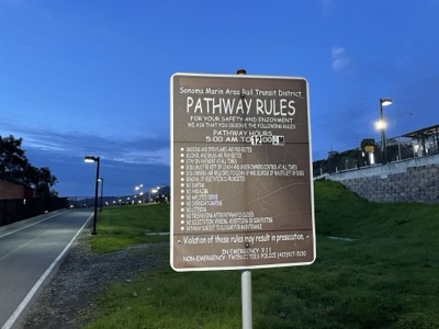
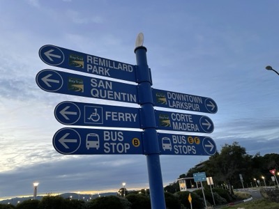
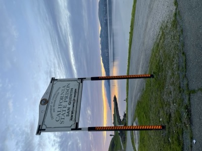
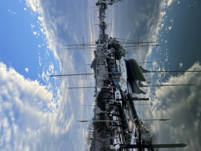
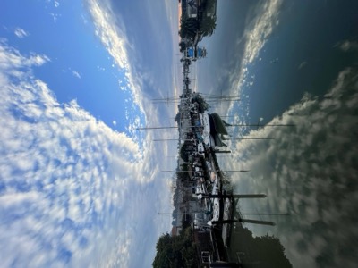
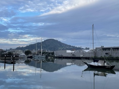
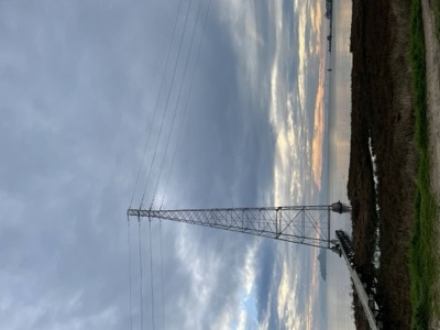
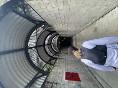
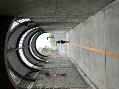
Notes: Today we picked up again from the Larkspur ferry terminal, attempting to cover the somewhat complicated outline of the Bay Trail in area between San Rafael and the Richmond Bridge. We settled on a figure 8, heading first past San Quentin prison, then forgoing attempting to get to the bridge from the south we turned left and headed down Anderson and the multi-use path along the SMART line, into San Rafael. We'll pick up the trail heading further north from this point next week.
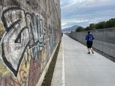
From there we headed back under the 101, checked out the now dead Terrapin venue and Beach Park, and then through the Canal district, to get onto the shoreline trail. Definitely the other side of the tracks here. This was all proposed Bay Trail.
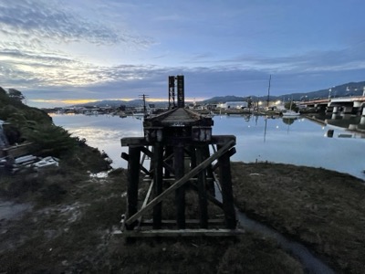
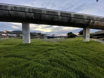
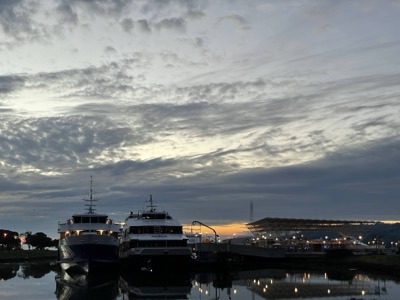
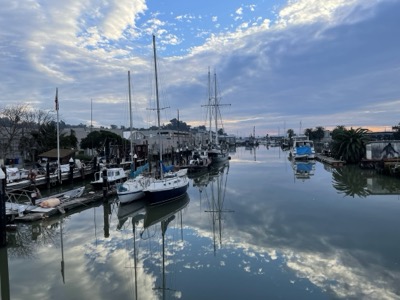
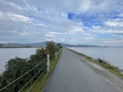
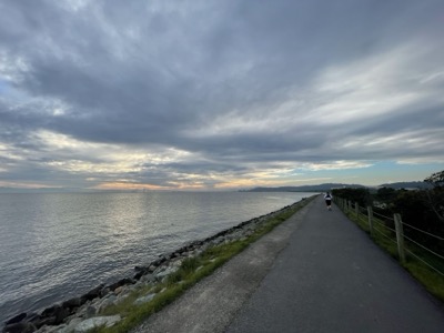
At Pickleweed park we turned back towards the bay on a muddy dirt path, with Marin Yacht Club across the water and Latino apartment buildings behind us. From there we followed the trail along the water, which turned paved, towards the bridge. We'll pick up the trail here again when we run the Richmond Bridge. For today we turned into Bellum, taking that up to the SMART line, then followed that on non-Bay Trail back to Larkspur Landing and our car. About 9 miles today.
Career landmark: this stretch passes the old ILM Kerner buildings in San Rafael — where ILM lived before the move to the Presidio.