Photos 21
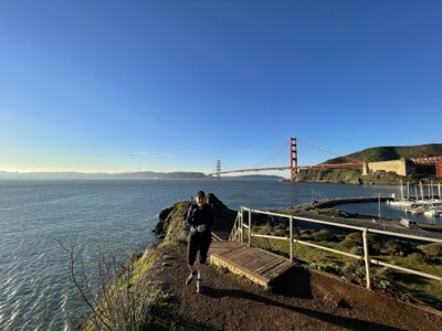
Map 25: Golden Gate Bridge To Mill Valley· Sunday, January 2, 2022
Start/End: Start car was at the north Golden Gate Bridge parking lot. End car was at Mill Valley Middle School.
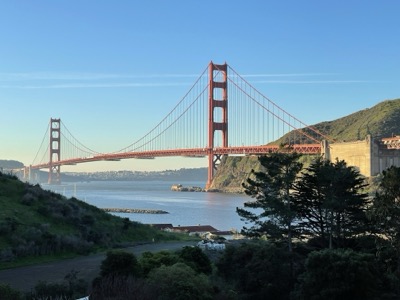
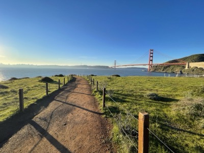
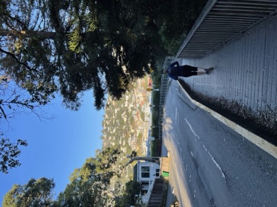
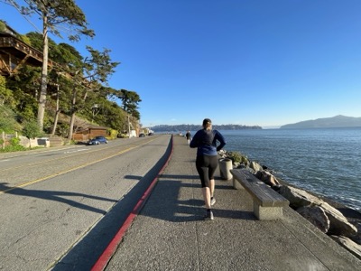
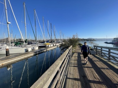
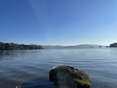
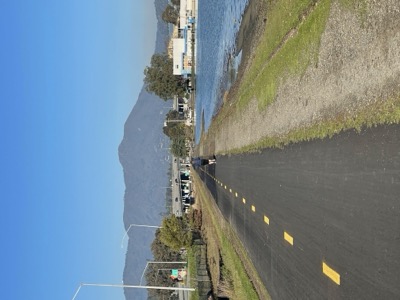
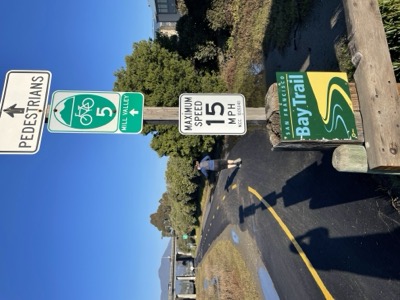
Notes: First Bay Trail segment for the new year. Lovely segment from the bridge through Sausalito and then along the Mill Valley bike path to where the trail heads east into Tiburon. We expected this to be nice and it was!
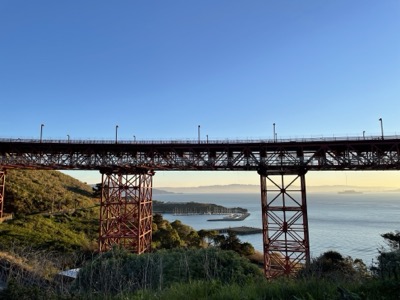
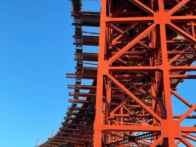
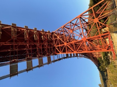
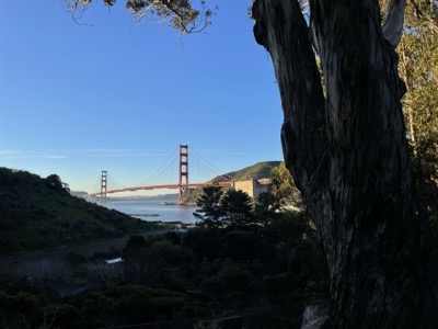
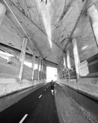
Particularly interesting were the gun mounts at a spur we took in Fort Baker and the view of the bridge from here is unique.
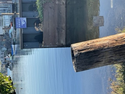
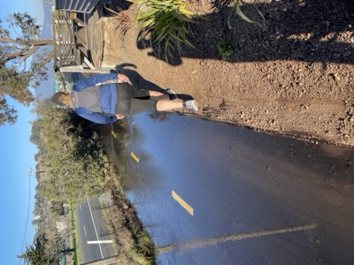
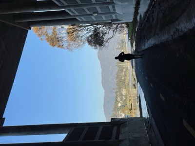
Just beat the king tides on this segment. By the time we were headed home with our start car a large section of the Mill Valley Bike Path was completely flooded and bikes were taking the freeway shoulder or riding through axle deep. As it was we only had to skirt along a wall in one place and then stopped our run 50 yards short of intended as it seemed unnecessary to get wet feet so close to our car.
Picked up coffee and a piece of pumpkin bread at Equator Coffee (Proof lab).