Photos 33
Sunday, December 12, 2021 The run 33 photos
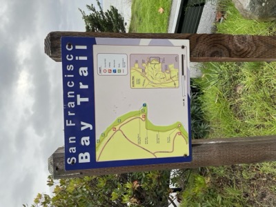
Map 3: Bayside Park To Brisbane Lagoon· Sunday, December 12, 2021 – Sunday, September 18, 2022
Start/End: Start car was positioned between the Costco and the wastewater treatment plant, where there is a small Shoreline parking area (2 hour parking technically). Finish car was at Sierra Point in a parking lot on the Bay side of Shoreline Ct.
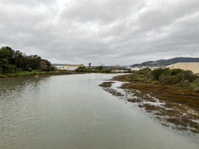
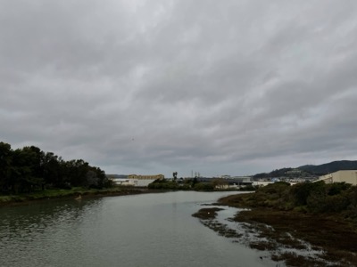
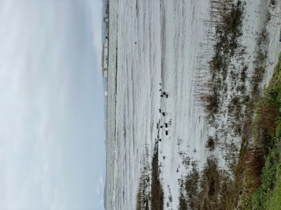
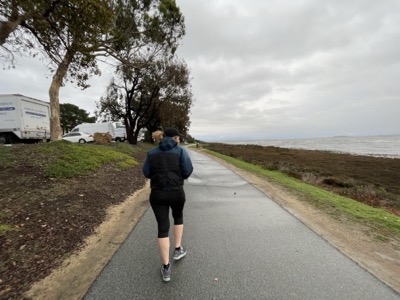
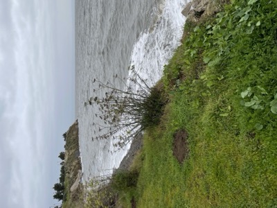
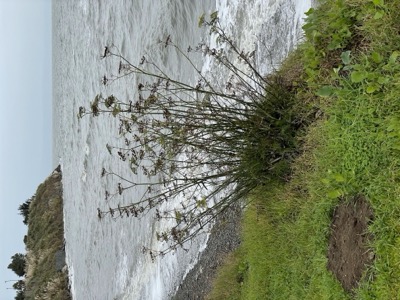
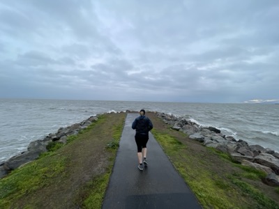
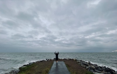
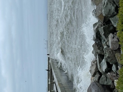
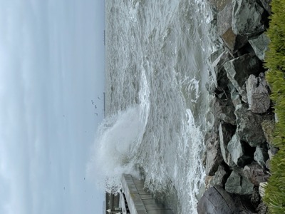
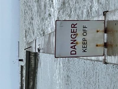
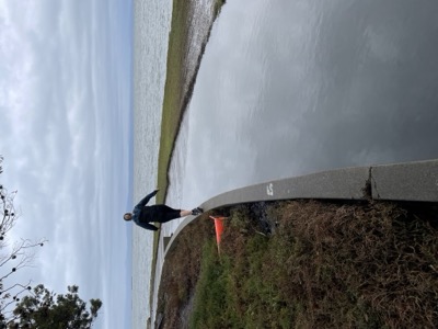
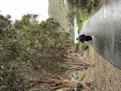
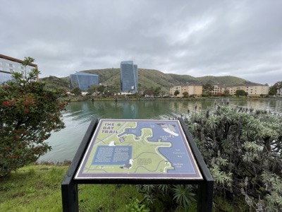
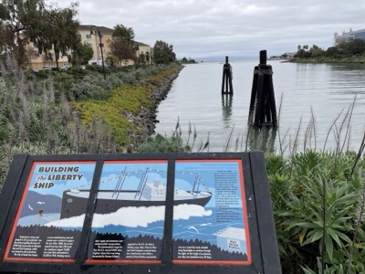
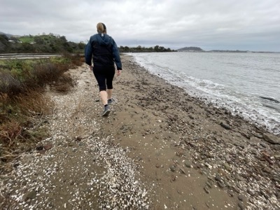
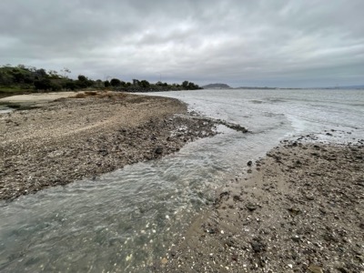
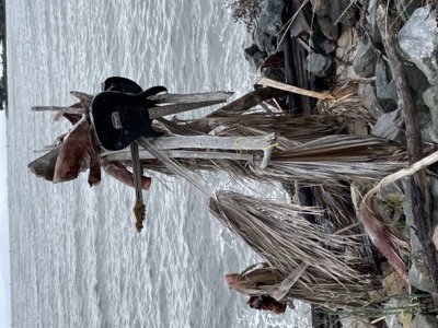
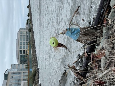
Notes: Stormy day in the bay so we didn't see many people, but the Bay was suitably angry. This section is completed Bay Trail, even with mile markers going from 0 at the Costco parking lot/bridge to 5.5. Enjoyable segment along mostly biotech companies.
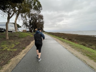
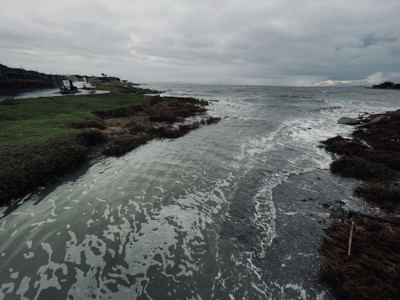
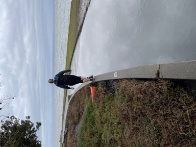
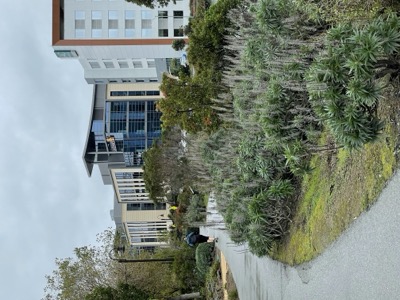
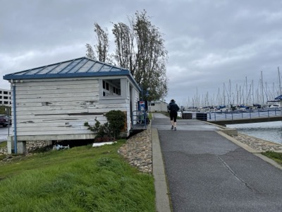
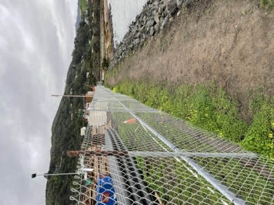
The last part around Sierra Point was a little hard to follow as there's a lot of construction going on there as of the end of 2021, but we more or less followed the route even if the trail was missing.
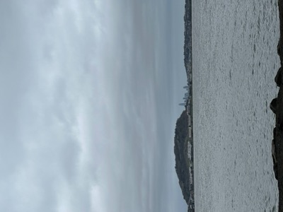
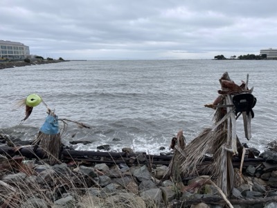
Saw our first view of SF since starting to head north.