Photos 20
Map 21: North San Rafael· Sunday, February 6, 2022
Start/End: Start car was at the dog park behind the Marin Civic Center. End car was at the Las Gallinas Valley trailhead.
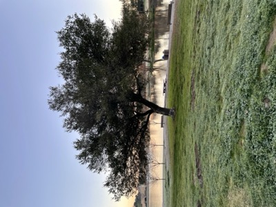
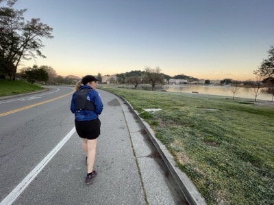
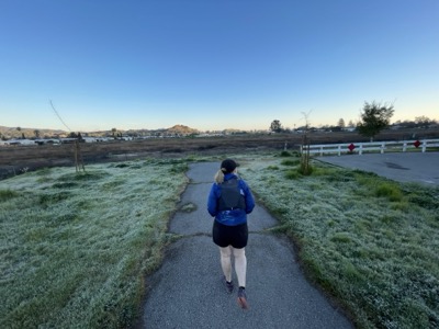
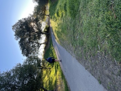
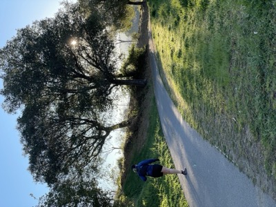
Notes: Freezing cold morning, about 34 deg and the ground was frozen. Pretty much unprepared for that.
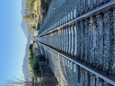
First part of this section takes you along the SMART tracks to a point where in the future a bridge will cross the canal and presumably the tracks and skirt along the back of the houses up towards Smith Ranch Rd. For now that isn't possible and instead the best that can be done is follow the 101 frontage road past the semi-abandoned strip malls, hot tub stores and a Marin Visitors Center (which I can't imagine gets a lot of business.)
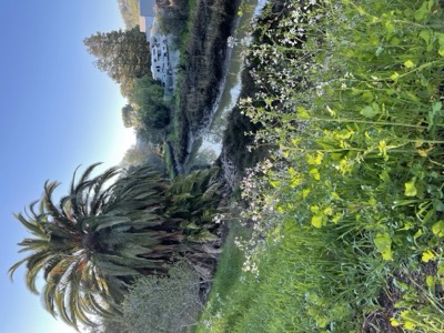
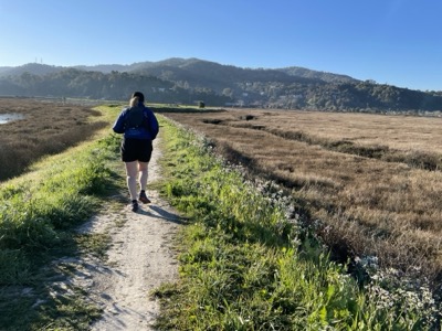
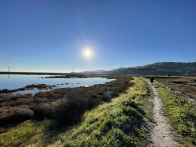
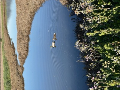
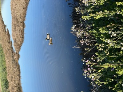
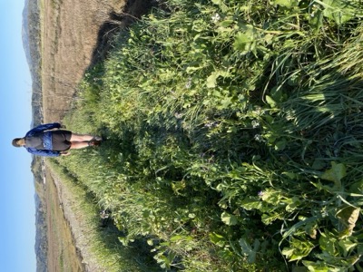
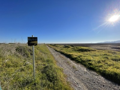
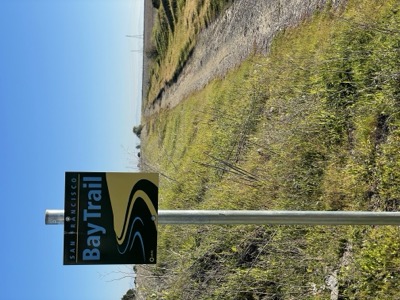
Beyond the frontage road there's a path along the canal, official bay trail, that leads first into some sports fields, then into marshland. Nice bird watching around here, but the people were not especially friendly. This is the edge of San Pablo bay, but the bay isn't visible from here. The trail for the last part is completely overgrown and ends with a nice looking Bay Trail sign, an improbable location because it doesn't seem like too many people make it to this dead end.
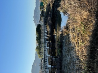
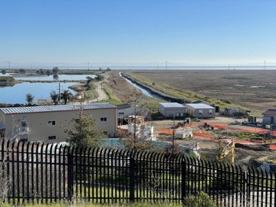
So, this is kind of the most egregious gap so far in the Bay Trail. At this dead end you are just 50ft or so from the trailhead parking and the continuation of the trail. A wastewater treatment plant stands in your way, and while skirting the side of it (along the canal) to the bridge is plausible, a sign forbids it.
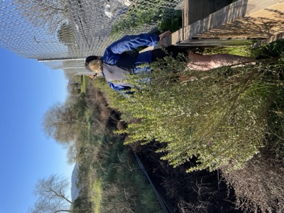
As an alternative we went along the fence line towards the golf course, where no sign exists, and onto public roads at the Golf course. Just after the large tank on the hill we followed the fence line down a steep hillside to the road, and then to our finish car. Alternative would be a full backtrack and then follow Smith Ranch Road out to Las Gallinas trailhead.