Photos 16
Map 8: San Leandro South· Sunday, September 5, 2021
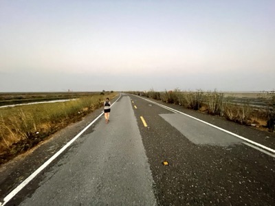
Start/End: Parked at Alameda Creek Trail again Ran the south side of Alameda Creek Trail and then looped around the northern part of the of the salt ponds.
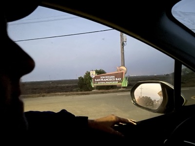
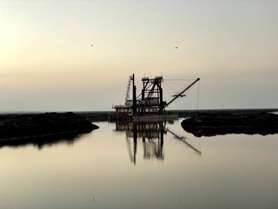
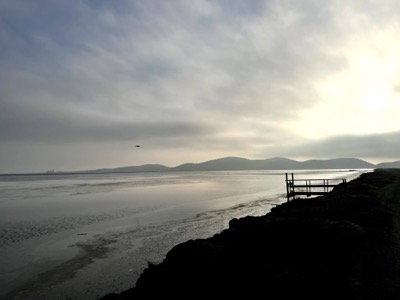
Start/End: Parked outside the Tidelands on Marshland Rd. The gate is closed early but many cars park on the shoulder outside of the gate. Honestly couldn't determine what so many people were doing there.
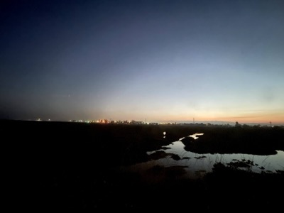
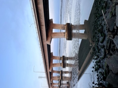
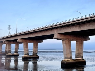
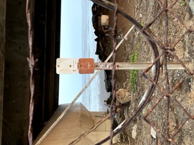
Early start. Ran out Marshlands Rd all the way to where the bridge rises up and you can pick up a bike path to cross under the bridge. As we got there cars were streaming into the parking there and people planning to fish (I guess?) started mobilizing for the prime spots. Bay trail often presents different slices of life you didn't know existed.
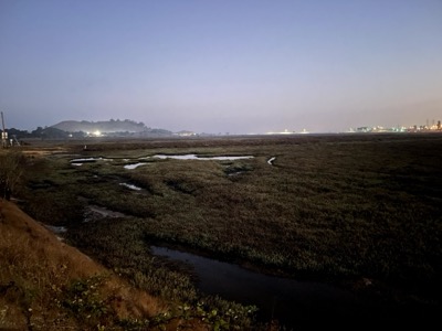
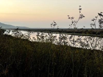
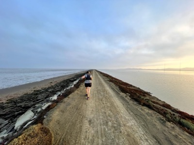
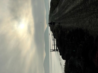
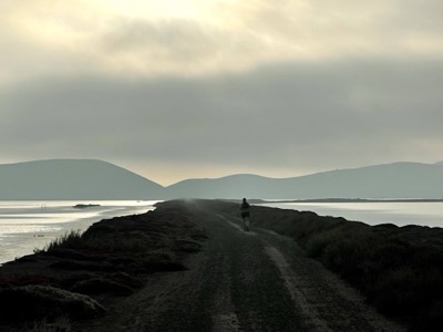
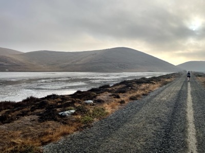
We turned north and took the salt pond levees in a loop to cover the southern area of Coyote Hills. It was fairly similar to the north loop.
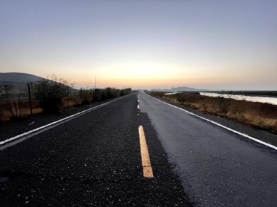
We'll cover the bike path across the bridge on the way back up the bay. Looking forward to heading south away from Coyote Hills. Feels like we've been running sections here for a long time.