Photos 30
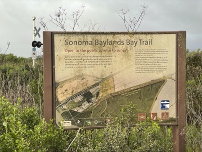
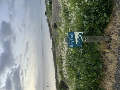
Map 19: Petaluma River To Hudeman Slough· Sunday, March 13, 2022
Start/End: Start car at Sonoma Marina, Finish car at Tubbs Island trailhead off Hwy 37
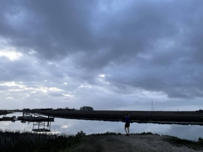
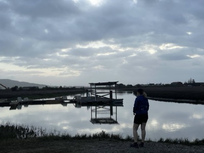
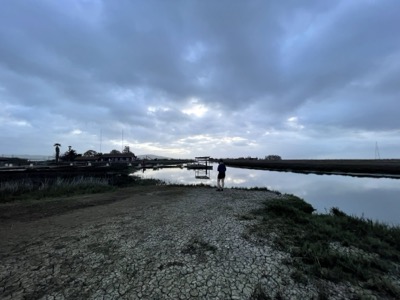
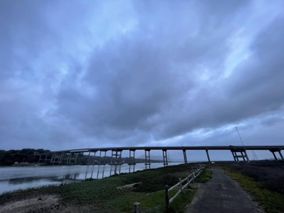
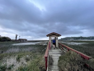
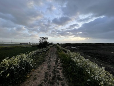
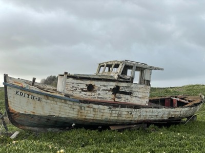
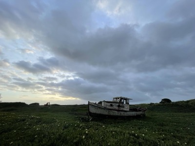
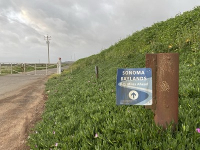
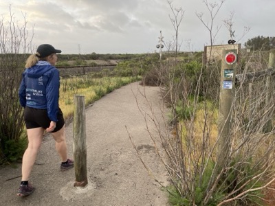
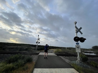
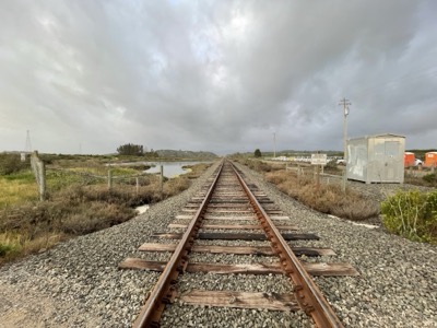
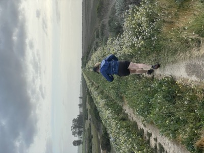
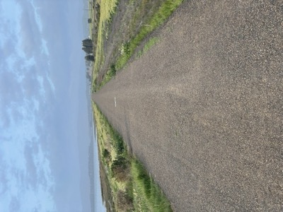
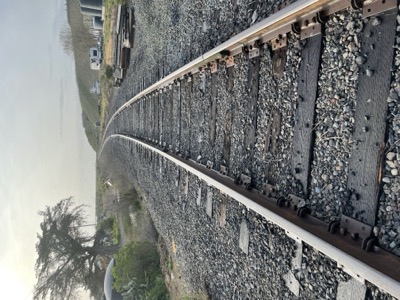
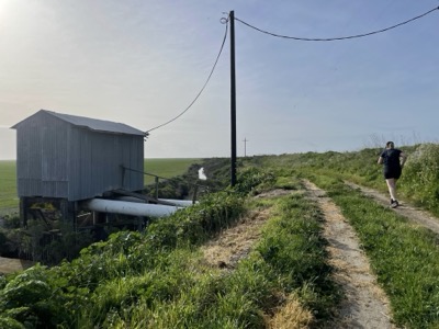
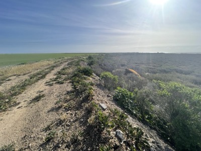
Notes: Back on some official Bay Trail running parallel to Hwy 37. Day started off warm but with some light rain. The first part of this section runs around the seemingly abandoned Sonoma Marina. The tide was quite a bit lower than yesterday when we paddled across to here. The docks we'd tried to paddle into were lying fully on the mud. Beyond the marina we pick up a fairly overgrown section of trail. I always wonder what state it was in when first dedicated, but it seems like not too many people make it to this part of the trail. Once the trail becomes the Eliot trail the situation was much improved with a beautiful wide surface and a very enjoyable run through here. Eliot trail ends at a dead end just short of Hwy 37, but it is easy to walk along the railway line for a few hundred yards to get to the road.
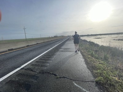
From there it's about 1/2 mile to the Lower Tubbs Island trailhead along Hwy 37. It's a little terrifying but the shoulder is wide. Our heart rates were up!
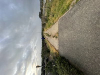
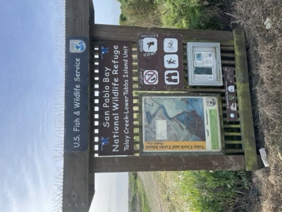
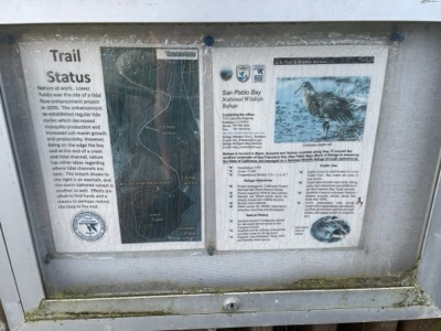
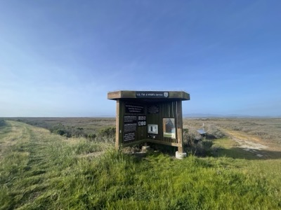
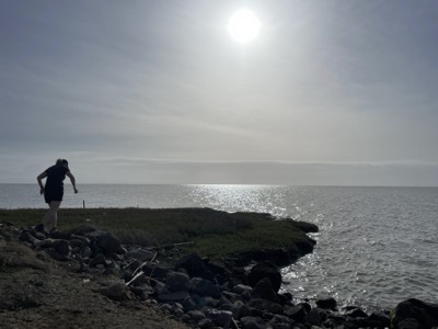
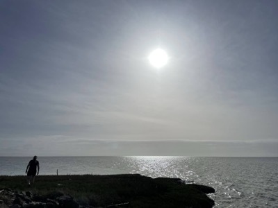
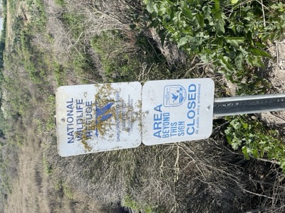
The Tubbs Island trail heads from the highway to the edge of the bay. I'd guess there's not a lot of takers down this trail though we did run into a photographer a little ways down and a couple headed in there to fish. At the far end there's a spur to the left that heads in the direction of the proposed bay trail. We didn't see any obvious reason (like a private property sign or area closed indication) why you couldn't continue that way. We were pretty tired by then, and it was 3 miles back to the car, so we turned back at where the trail bends (as the map indicates this is where the official trail ends).