Photos 20
Start/End: Start and finish car at Ramal Rd. There's a trailhead here with a small dirt parking lot and some shaded picnic tables (but I'm not sure it has a name): goo.gl/maps/zN3pRbRy2oY5ZZYi8
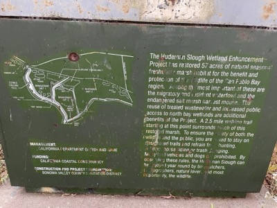
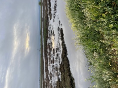
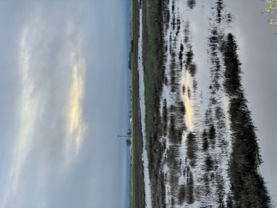
Notes: This seems like a pretty remote part of the Bay Trail, and we couldn't find much info about it. So if you're coming here trying to knock off Bay Trail sections, here's the scoop.
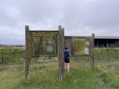
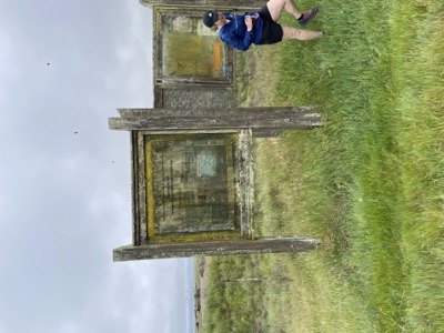
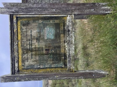
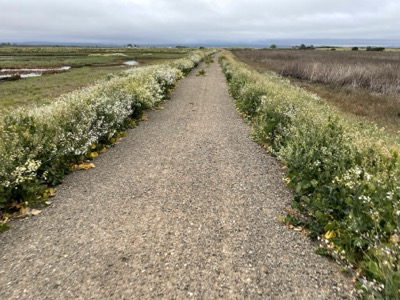
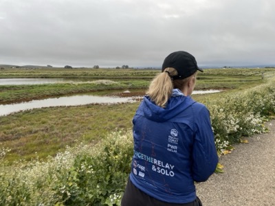
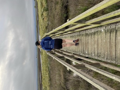
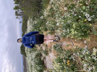
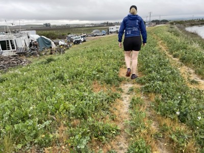
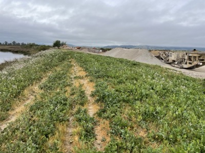
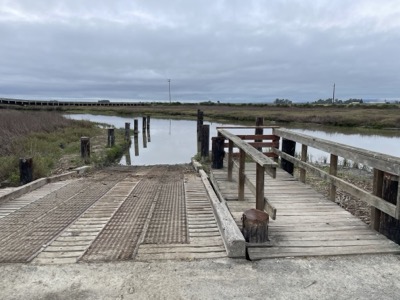
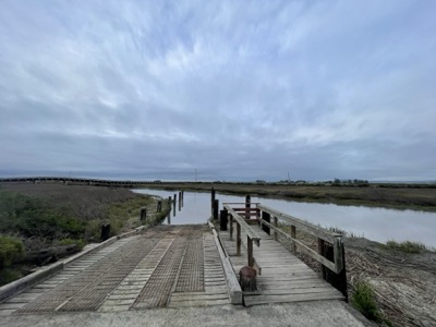
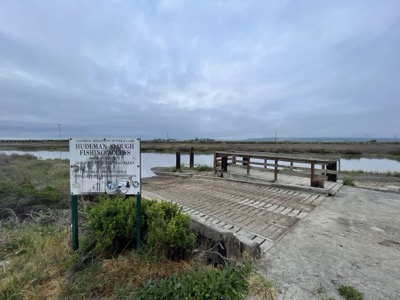
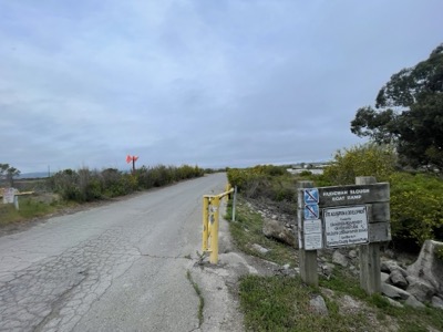
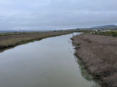
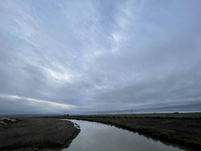
There's a parking lot off Ramal Rd that is unmarked and there's no indication here this is actual Bay Trail. You can follow a fairly clear trail south, crossing a neat little bridge and disturbing birds in a pond on the left. They are super skittish. The official trail ends but there's no indication except a turn, where straight ahead is much less developed and probably overgrown. A grungy map at the trailhead indicates a locked gate, but there is no gate. You can continue this way and after not long you'll come to some earthworks area. Staying alongside the water you stay up on the levee and won't have any conflict with that. Just beyond this is the Hudeman Boat dock area and that is all fully public. The gate to the boat put in was open, though a sign says you need to get a key from Sonoma County Parks, in case this seems like a place to park. The launch looked usable I think. There is also the gate/bridge to Skaggs Island here, where the proposed Bay Trail would meet up with this loop. We checked out the view from the bridge, but didn't go any further. There's a sign prohibiting entry, as expected. We headed back along Skaggs Island Rd (north), then took Ramal Rd back to the car.