Photos 13
Start/End: Start and Finish car at Carquinez Park
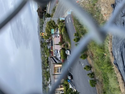
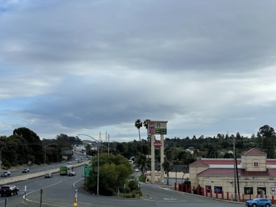
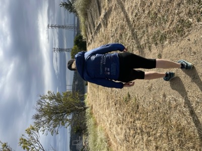
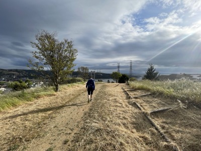
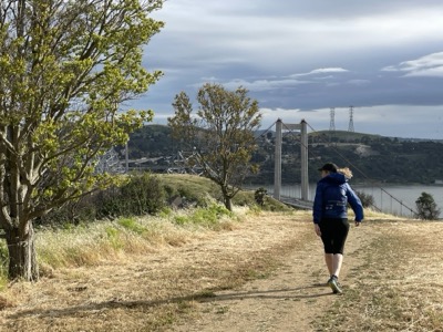
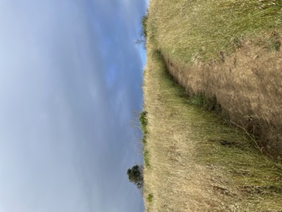
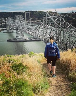
Notes: The proposed trail between the Carquinez bridge overlook and the bridge itself doesn't really exist. While it seems plausible to follow that route up the hillside it's right above the I-80 toll plaza and you'd be very obvious. Instead we took a route on surface streets as recommended in the Bay Trail map for this area. There's numerous ways to go, so we picked roughly the closest to the proposed route and followed trail for the last part.
You'd probably only do this if you were actually trying to connect things together, though the view is quite nice from above the bridge.