Photos 19
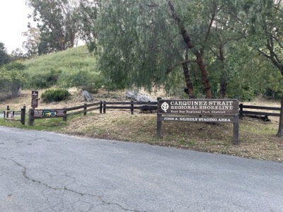
Start/End: Start car was at the old Benicia Armory, which is close to the bridge. Finish car was at the Nejedly Staging Area for Carquinez Shoreline Regional Park.
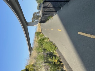
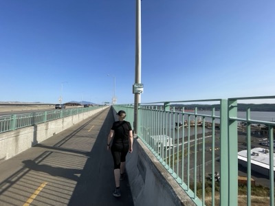
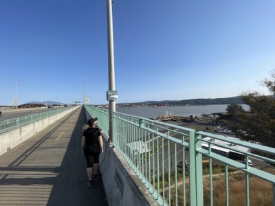
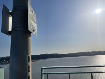
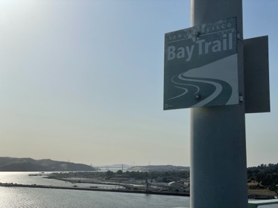
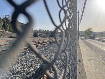
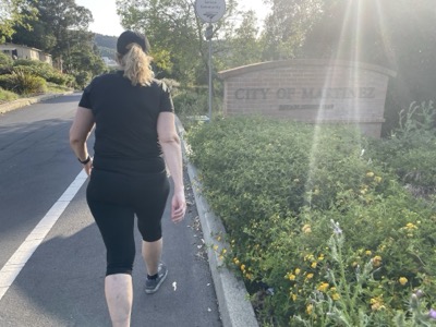
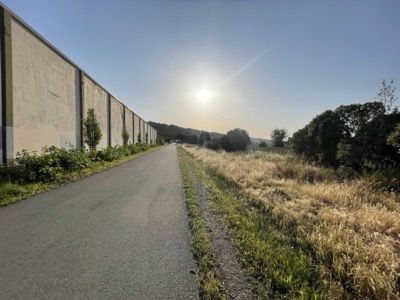
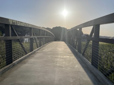
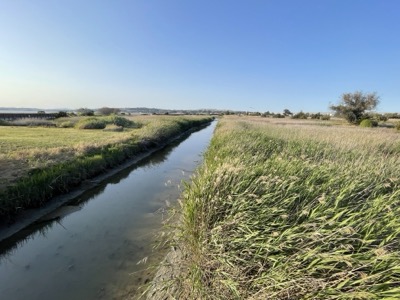
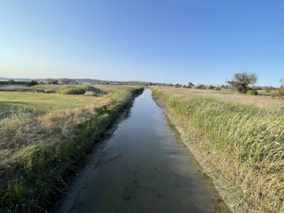
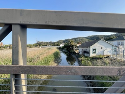
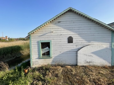
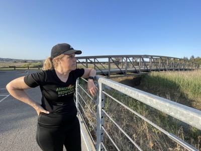
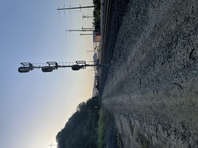
Notes: Saturday late afternoon run. Warm 70 degrees. Walked across the bridge which we did twice in the TOGETHERelay so pretty familiar piece of bike path. In Martinez the Bay Trail forks, basically because the two roads are one way in different directions. We took the one closer to the Strait. Then the trail does a little detour into a shoreline park, crosses a little bridge and then you have a proposed trail choice. We chose to walk a short distance alongside the railway line (be careful these are very active, but you can keep a distance to the tracks), then cut up through some overgrown hillside to a disused road and then emerged right across the road from the trailhead.