Photos 13
Map 15: Carquinez Bridge To Point Wilson· Wednesday, April 27, 2022
Start/End: Start car was on street parking near Willow Ave and San Pablo. Finish car was at the Atlas Rd staging area at Point Pinole.
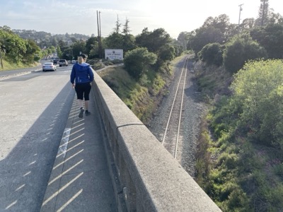
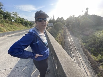
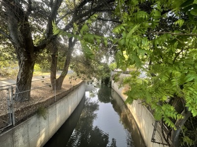
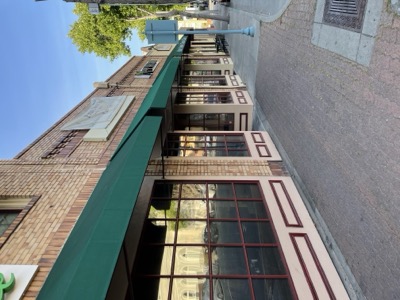
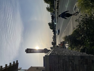
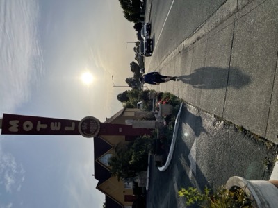
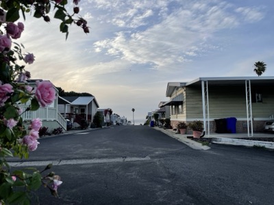
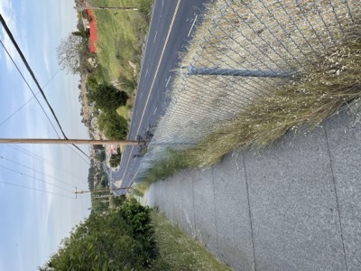
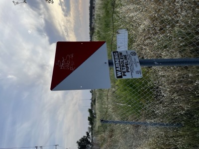
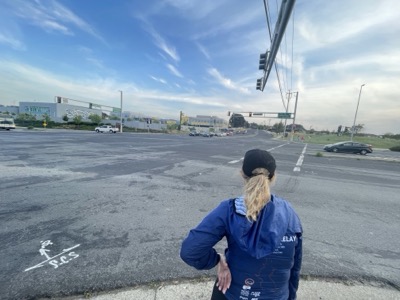
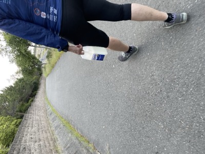
Notes: Honestly, not a great segment. Most of the trail is along San Pablo Ave, which is wide, busy and not particularly scenic. This is followed by Atlas Ave which is home to a large Amazon distribution center. Still, some parts of it are marked official Bay Trail, so we traversed those even though the two Bay Trail signs we saw the whole way are literally the beginning and ending of this segment. For wildlife, well there was a dead turkey right in the middle of the sidewalk. The cutest part is Pinole, where we used to ride to the Bear Claw Cafe back when we'd bike ride. Like a meeting of two different phases of our lives seeing how those memories fit in. We also stopped at a cookie place (butter pecan bakeshop) and got a couple of treats. We even grabbed some milk at the Walgreens at Richmond Parkway to have with our second cookie. Gotta make fun where you can. Anyway, in terms of circumnavigating the bay, we needed to do this segment because I think we've made the decision not to use the live tracks along the bay shore, so this gets us to Point Pinole and one step further back down the East Bay towards our finish point. We'll do what can be done of the area north of Point Pinole for each end of the gap tomorrow to complete out the official Bay Trail there.